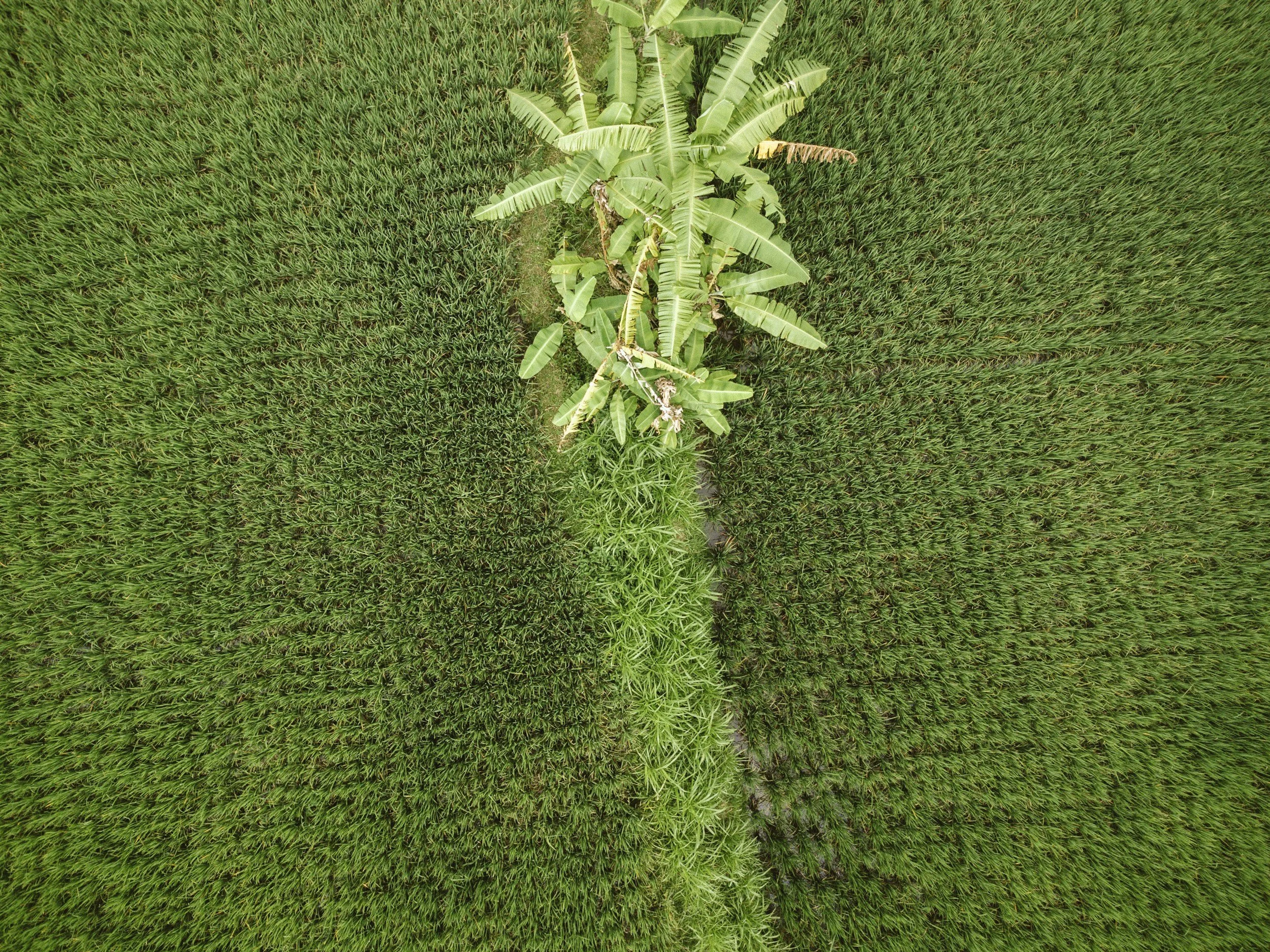
Orchard & Grove Mapping (Tree Health Monitoring)
Orchards and groves require consistent visibility across blocks. SkyBlue Aerials provides drone mapping that helps you quickly identify uneven canopy vigor, weak areas that need attention, and block-to-block variability that can quietly reduce production over time.
Multispectral mapping is especially valuable in tree crops because it can surface early signs of stress linked to irrigation distribution, nutrition variability, disease pressure, storm impacts, and canopy decline. Instead of relying on random walks, your team can scout with purpose—checking the specific rows and blocks that stand out on the map.
We serve orchard and grove clients across Palm Beach, Broward, Martin, and St. Lucie counties, and we can schedule flights as one-time diagnostics or as repeat monitoring after major events (storms, irrigation changes, nutrition programs, or treatment cycles).
Turnaround: Typically 48–72 hours.
Pricing: Based on block acreage, number of blocks, and whether you want one-time mapping or scheduled monitoring.